| |
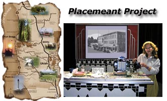
| Placemeant
Stories of Why Where Matters
Throughout
the Spring and Summer of 2005, stories were collected from
communities around Ukiah, and in October of 2005, they were
integrated into a stage production featuring 21 stories, many
performed live by the authors. In 2006, an additional workshop
collected stories from other parts of Mendocino, leading to
a touring production in August and September.
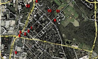
The
map was created with Mapbuilder.
|
|
|
| |
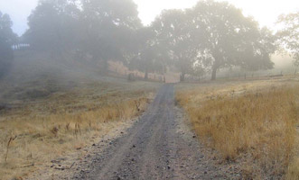
Ingel-Haven
Walking Tour
CDS
holds its ongoing Train-the-Trainer retreats at Ingel-Haven
Ranch, the home of Kate and Mac Magruder. This tour represents
a model of the phototour narrative. In this piece of writing,
you are taken through a landscape with a story about the
issues facing contemporary small ranchers.
The
map was created with CommunityWalk.
|
|
 |
| |
|
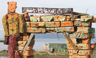
Save
Our Shoreline
Another
model of the phototour narrative, but this time looking at
a local area where redevelopment threatens to end an unusual
space for creative expression and wild exploration. |
|
 |
| |
|
Vickery
Memory Map
Another
use of the tool of story-mapping is to unlock the memories
of places that you remember as a child. Looking at a map,
even if a place has changed enormously, often unlocks memories
and stories that are powerful.
Vickery
was a small neighborhood in North Dallas, Texas, that was
redeveloped almost out of existance in the 1970s. Joe Lambert
recalls his salad days as a boy growing up in a small town
near a big city. |
|
 |
| |
|
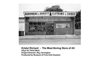
Third
Ward, Houston
In December
2006 and July 2007, a group of residents of Houston's historical
Third Ward community gathered to share stories about their
community. The project is a new production approach for CDS,
one that combines a walking tour and group story gathering
process. Students and faculty from Jack Yates High School
and the University of Houston assisted with the process.
Visit
the Eye
on Third Ward project to see images by students at Jack
Yates. |
|
 |
| |
|
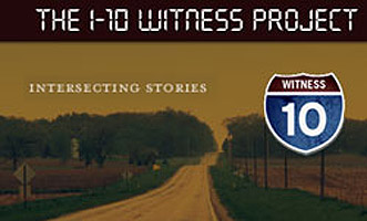
The
I-10 Witness Project
Shortly
after Hurricane Katrina ripped through the Gulf Coast, a group
of artists and educators began gathering stories about those
affected by the disaster. CDS assisted by sending audio equipment
, and hopes to map the audio interviews along the I-10 corridor.
|
|
 |
| |
|
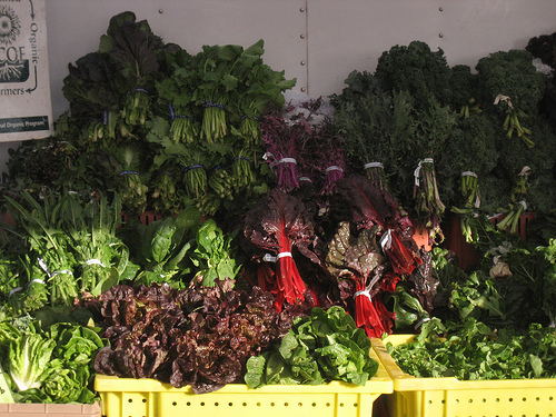
Mapping
Our Food
As
part our efforts to connect with local agricultural and educate
communities about the possibilities of consuming healthy locally
grown food in season. Toward's that end we are helping with
a class at MLK Middle School in Berkeley to capture stories
about food.
|
|
 |
|